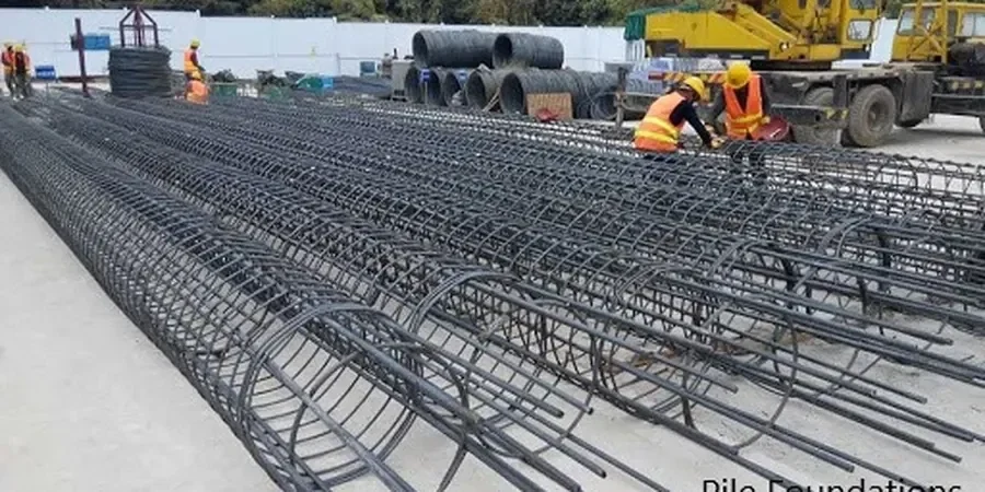
Drive west from downtown Knoxville toward Bearden and you'll cross from stiff alluvial terrace deposits into deeply weathered shale with intermittent limestone pinnacles. That underground transition isn't subtle — and neither should your foundation approach be when the soil profile changes that abruptly. Pile foundation design in Knoxville demands working knowledge of these compartmentalized subsurface conditions, where one side of a site might bear on competent rock at 15 feet while the other hits karst voids at 40. Our team has navigated this exact scenario beneath Henley Street Bridge reconstruction zones and along the Fort Sanders ridge, combining SPT drilling data with rock coring to pinpoint refusal depth before the first load test. The Tennessee River's ancient meanders left behind pockets of organic silt and buried boulder fields that shallow footings simply cannot negotiate — and that's where a properly instrumented deep foundation strategy earns its place in the project budget from day one.
Knoxville's Conasauga Shale doesn't read the textbook — its slickensided interfaces can halve shaft friction values compared to regional defaults, and only site-specific load testing catches the difference.
Local context
Knoxville's development arc tells the geotechnical story: the city pushed outward from the original river landing in the 1790s, filling creeks and grading hillsides that had never carried structural loads before. Market Square sits on made ground over the old First Creek channel, and several mid-rise buildings erected during the 1920s boom downtown required underpinning within forty years because timber friction piles in saturated fill began to rot. That legacy matters when you're designing pile foundations three blocks away from a known sinkhole mapped by the Tennessee Geological Survey. Karst-related ground loss doesn't announce itself — a limestone void can remain stable for centuries until construction vibration or changed drainage patterns trigger sudden subsidence. The risk compounds in the Cedar Bluff and West Hills areas, where residential and commercial development accelerated in the 1970s atop residual soil profiles that had never been instrumented for long-term settlement. A pile design that ignores these historical failure patterns — settlement, ravelling, loss of end-bearing — is gambling with a structure's service life in a geology that has already demonstrated exactly how it fails.
Common questions
How deep do piles typically need to go in Knoxville's residual soils?
Depth varies dramatically by neighborhood. In the Fort Sanders area, weathered shale can extend 30 to 50 feet before encountering rock suitable for end-bearing. Along the Tennessee River floodplain near Neyland Drive, alluvial deposits may require piles reaching 60 to 80 feet to bypass soft clay lenses. Each site needs borings to determine refusal depth; we've seen adjacent parcels differ by 25 feet because of pinnacled bedrock topography.
Does Knox County require load testing for driven piles?
Yes. Knox County plans review generally follows TDOT specifications when static load tests aren't performed, requiring dynamic testing with a Pile Driving Analyzer (PDA) system per ASTM D4945. Typically the specification calls for testing the first production piles and performing restrike testing after a minimum setup period, usually five to seven days, to capture soil setup effects in the local shale-derived clays.
What does pile foundation design cost for a Knoxville project?
For a typical commercial or light industrial building in the Knoxville area, pile foundation design fees run between US$1,830 and US$6,020 depending on the number of borings, pile count, load test requirements, and whether karst investigation is needed. Complex sites with known sinkhole activity or deep soft soil profiles fall toward the upper end because of the additional analysis and field verification involved.
How do you address potential sinkholes when designing piles in East Tennessee?
We start by reviewing karst susceptibility maps from the Tennessee Geological Survey and running a ground reconnaissance for closed depressions or historic sinkhole records. During the geotechnical investigation, we perform probe drilling at each shaft location to a depth of at least 10 feet below the planned socket, and if voids are detected, we specify grout plugging or casing through the cavity zone. In high-risk areas we may also recommend a geophysical survey using electrical resistivity to map subsurface anomalies before finalizing pile locations.