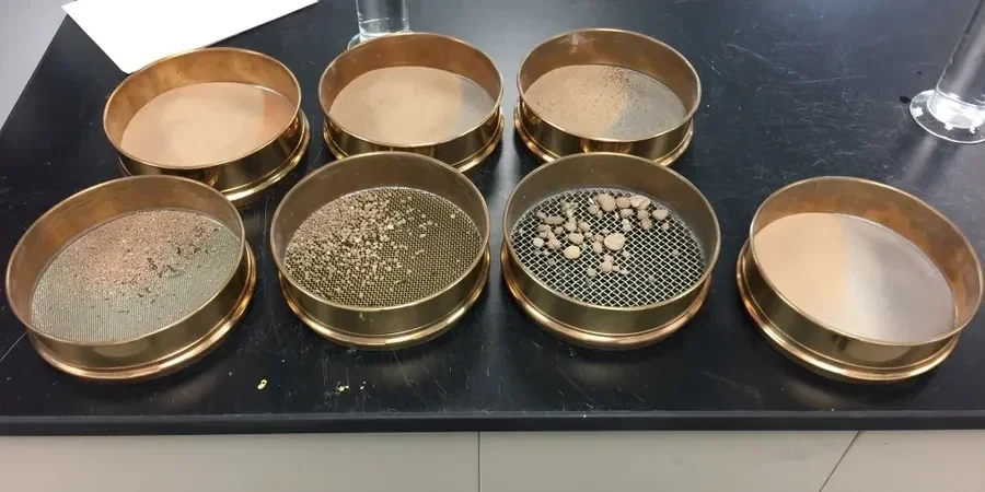
Knoxville's development along the Tennessee River carved a city into a landscape of weathered ridges and alluvial valleys, where downtown high-rises sit on deep floodplain deposits while neighborhoods like Sequoyah Hills perch on residual soils derived from limestone and dolomite. This geological patchwork demands precise soil classification before any foundation design moves forward. A grain size analysis combining mechanical sieving with hydrometer sedimentation gives engineers the full particle-size distribution curve needed to apply USCS classification per ASTM D2487 — something a simple visual inspection simply cannot provide. In our experience across the region, overlooking the fines content in these transitional soils has delayed more than one commercial project. We run both the coarse fraction through ASTM D422 sieves and the fine fraction through an ASTM D7928 hydrometer procedure in our accredited laboratory, producing a continuous gradation curve from gravel down to colloidal clay. For projects on the expansive shale-derived soils common in West Knoxville, we often run atterberg limits alongside the hydrometer test to correlate plasticity with the clay-size fraction, giving the full picture of soil behavior.
A complete particle-size curve from 75 mm down to 0.001 mm is the single most valuable piece of data for classifying East Tennessee's transitional residual and alluvial soils.